Use Cases for Improved Public Health Outcomes with GeoAI
Leverage AI-driven geospatial intelligence for agile responses to dynamic public health challenges
Let us shape the future of public health together
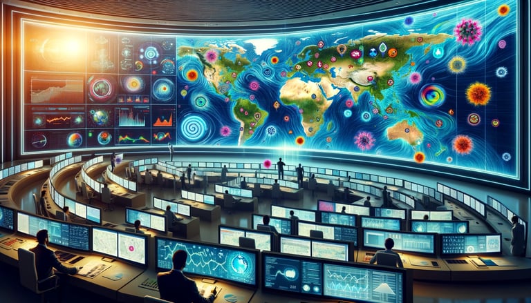
Use Case 1: Predicting Disease Outbreaks
Imagine a world where predicting a health crisis is as straightforward as forecasting the weather. How could this change the future of public health?
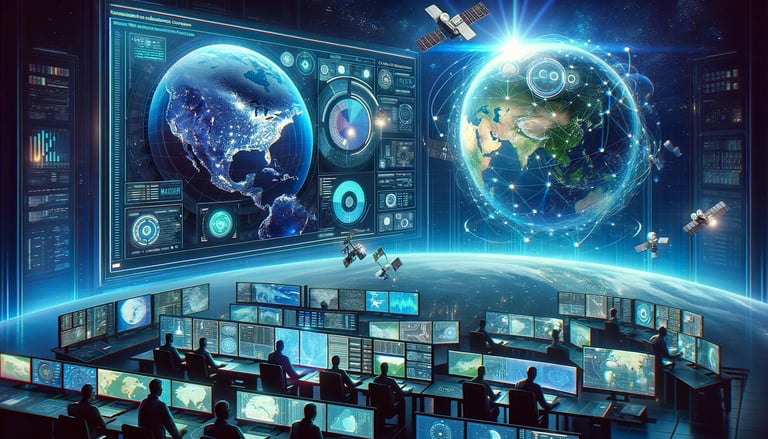
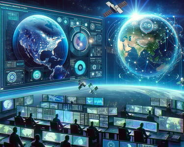
I can solve your complex public health challenge
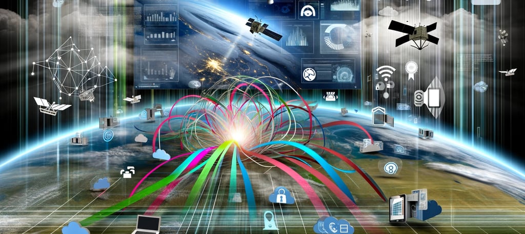
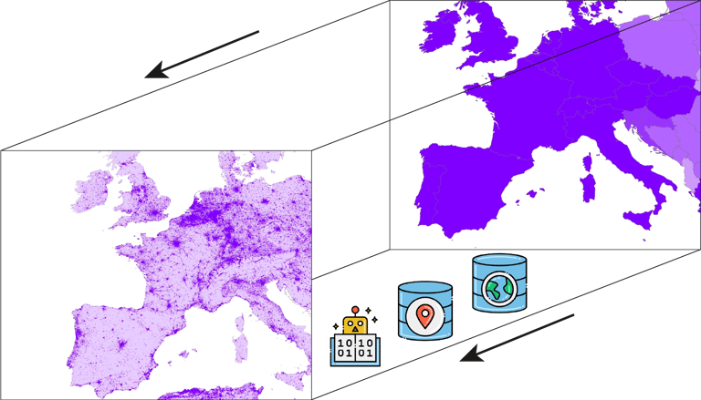
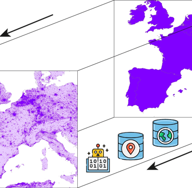
By fusing diverse big data using location.
Earth observation satellites
demographic studies
cultural settlements
POIs
landforms
land cover
weather and climate
and infrastructure
Then, analyze to find patterns, hot spots, and outliers, and model using machine learning to identify critical factors and predict disease outbreaks for improved planning and immediate intervention.
My comprehensive analysis workflow adheres to strict scientific and best practices to produce confident answers.
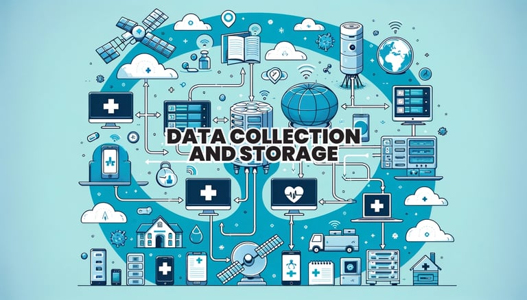
Data collection from diverse sources and storage
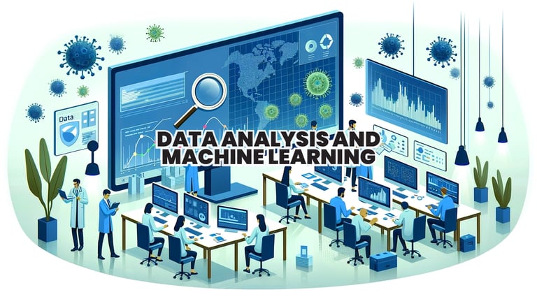
Data analysis and machine learning predictions
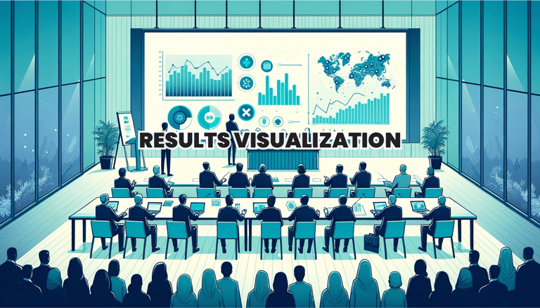
Results visualization to decision-makers
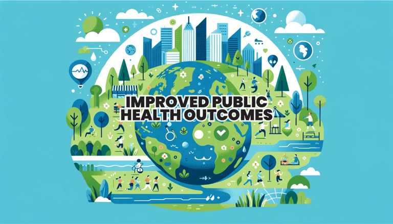
Improved public health outcomes
I Provide a Comprehensive Analysis Workflow
Drive market leadership in public health with integrated AI and geospatial innovations.
You can click below to learn how I predicted disease outbreaks for the World Health Organization (WHO).
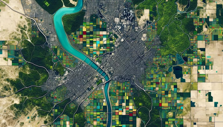
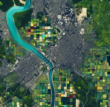
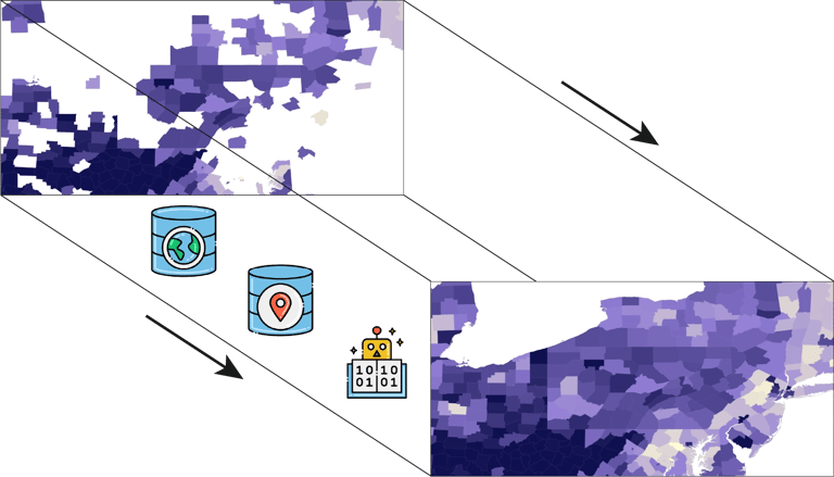
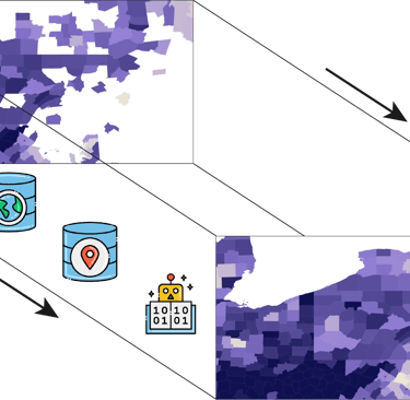
Use Case 2: Scale-up your dataset assets
We have all heard that data is the new oil. However, data collection is sometimes expensive, especially if you do it correctly. Also, our data is often unorganized, messy, out-of-date, and complicated to turn into useful information. How can we use AI and geospatial technologies to scale up our datasets to cover vast geographical areas while decreasing temporal gaps?
Scale-up your datasets geographic coverage and reduce temporal gaps.
AI and geospatial technologies can use data fusion and predictions to scale up the geographic coverage of your datasets, thereby increasing their value and effectiveness.
They can also greatly reduce expensive resource consumption in creating the datasets to allow for rapid creating and regeneration of datasets filling lengthy temporal gaps.
Techniques like those used by WorldPop to interpolate or infer data fills gaps expanding your data's effectiveness and multiplying potential applications and users exponentially.

Fuse data from satellites, IoT devices, social media, and smartphones.
Use geospatial technologies to process, filter, and interpolate data.
Use GeoAI to extract features from satellite imagery like houses, roads, trash dumping sites, musquito breeding sites, or any other feature of interest.
Use GeoAI to extract structured information or infer new data to fill gaps.
Use AI and geospatial technologies to automate tasks, allowing for the rapid regeneration of data updates.
Contacts
scottpez@brightworldlabs.com